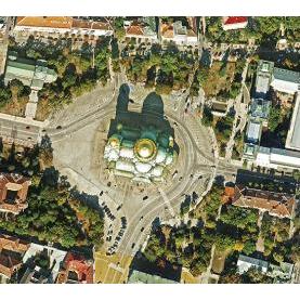
Processing aerophoto and satellite imagery
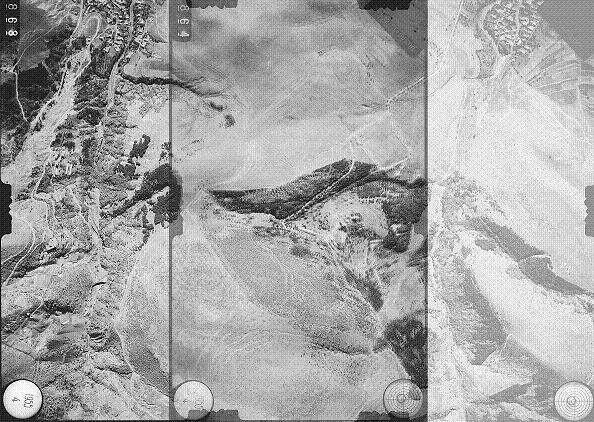
Processing archival images
Archival images bring valuable information about the status of the territory at a previous moment. With their help it is possible to resolve various disputable issues. Archival images are stored in the Military Geographic Agency (MGA) or the Geomapfund of GCCA. Archival photographs given by clients to the specialists in the "Photogrammetry" unit are processed in a modern way, through the methods of digital photogrammetry.
The source material provided by the clients is mainly diapositives, contact-printed from the aerial film (negative). The diapositives are scanned with a photogrammetric scanner.
Archival aerial photos have different applications:
- In litigations on disputes over property boundaries.
- To determine the previous state of plots of land and buildings.
- To determine the former boundaries of properties according to Rules for the Implementation of the Agricultural Land Ownership and Use Act.
- For preparation of technical expert reports.
Services of the same category